Views from interstitial New Jersey
Photographs + text by Barron Bixler
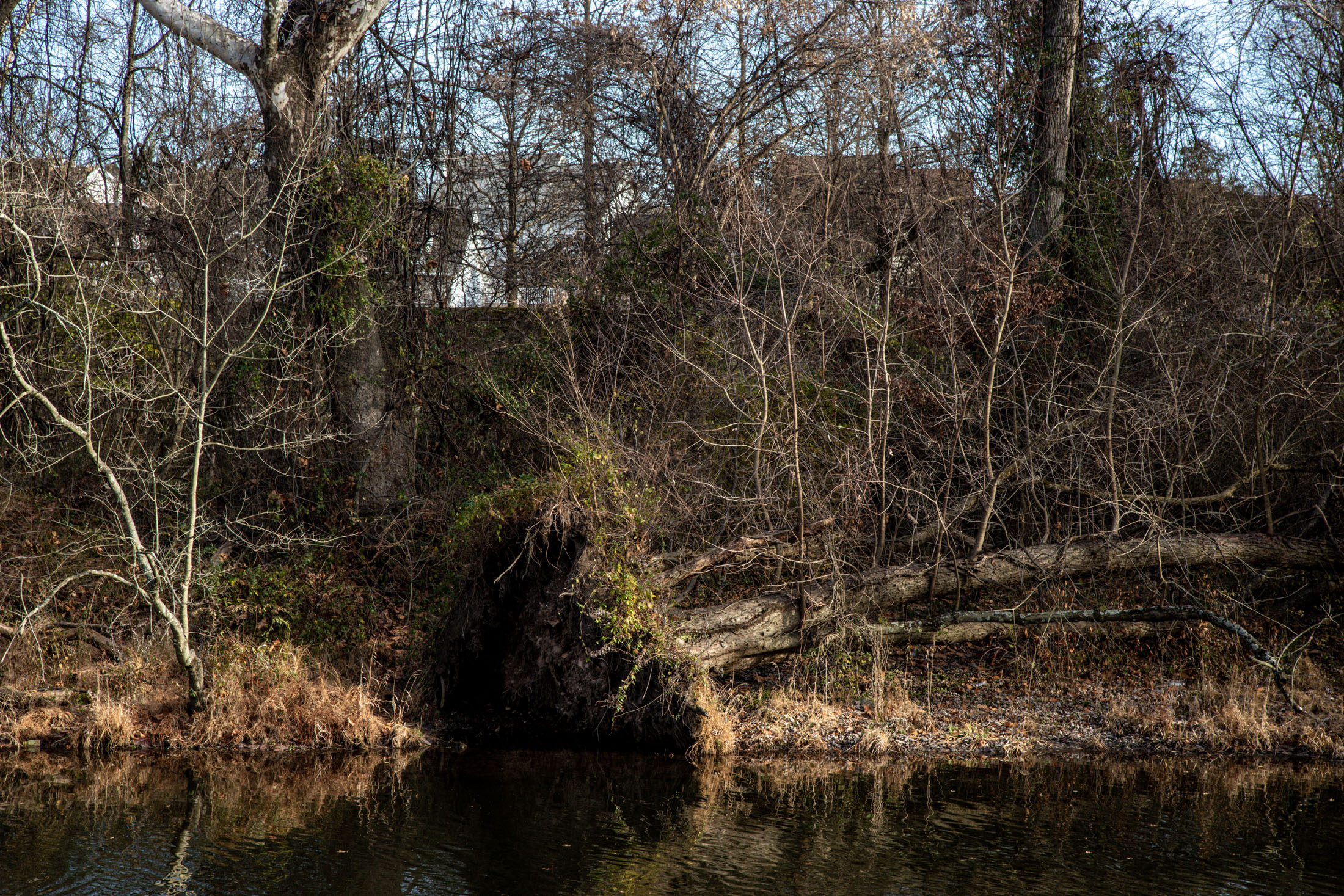
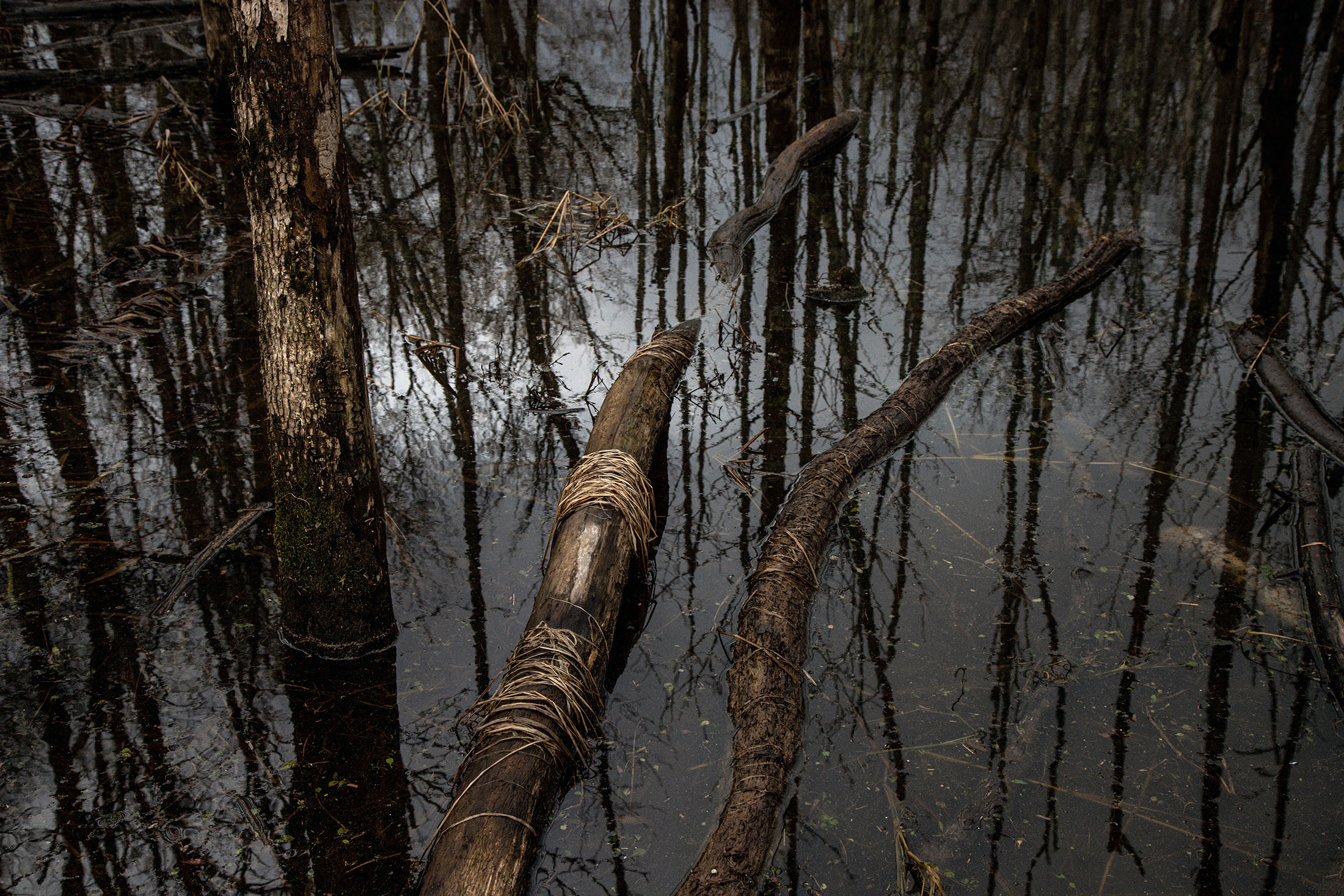
There is a hole in our language where there should be a single word or turn of phrase for the interstitial, recursively drowned and desiccated boundary between water and land. Surveyors have their meander line. Geographers have their riparian and littoral zones to describe riverlines and coastlines, respectively. There are wetlands, marshes, swamps, fens, bogs and intertidal zones.
In California, where I’m from, unimaginably large swathes of land used to drown every spring from rivers bursting their shifting courses with fresh Sierra Nevada and Cascade Range snowmelt. Early accounts from colonial Spanish explorers describe harrowing springtime river crossings around what we now call the Sacramento-San Joaquin River Delta and parts of the San Joaquin Valley—the San Joaquin River, the Kings River, the Kern River, Tulare Lake.
There are exceptions, of course. Wildfire-ravaged hillsides are particularly prone to flash flooding. Aging levees, which protect millions of homes, are starting to fail. And hundreds of miles of prime coastal territory—quaint towns, beachfront mansions, critical infrastructure, tech corporate campuses, nuclear and coal-fired powerplants—will be inundated by rising seas within the next half century.
But mostly, the relationship between land and water in California is marked by the signs of retreat and depletion. Referring to scars made by glacial drift on a surface of bedrock, geologists use the evocative term chatter mark. Visit any of California’s 1,300 named reservoirs, and mostly you’re looking at pale, cracked craters of land where water originally never was and now only used to be—a new, ghostly kind of chatter mark that we bear like the mark of Cain.
In the end, we heeded the official warnings, headed home and hunkered down. Around 7pm we put our kid to bed upstairs and doomscrolled the live weather updates.
When our phones lit up again warning of more tornados, we called the only person we knew in the area and asked Is this for real? She calmly told us Yes, it is for real, a tornado could tear the roof off your rental and take your kid with it so you’d better get him and head to the basement.
On one of my reconnaissance missions around the apartment I noticed a steady trickle of water coming in through the foundation in the subterranean laundry room. I watched it pool on the floor and start to spread, its meander line expanding across the concrete landscape, piled high with hills and mountains of carboard box. Curious but not catastrophic.
Two guys from building maintenance responded to our service call and when they rang the bell and I opened the door they looked like they’d seen terrible things. Hooded in iridescent yellow slickers and with walkie talkies chirping, they surveyed the damage to our moving boxes and told us You’ll be fine. Then they disappeared into the wet and the wind and the dark.
All they left me with was this disconcerting thought: One or both of them may not make it through the night alive.
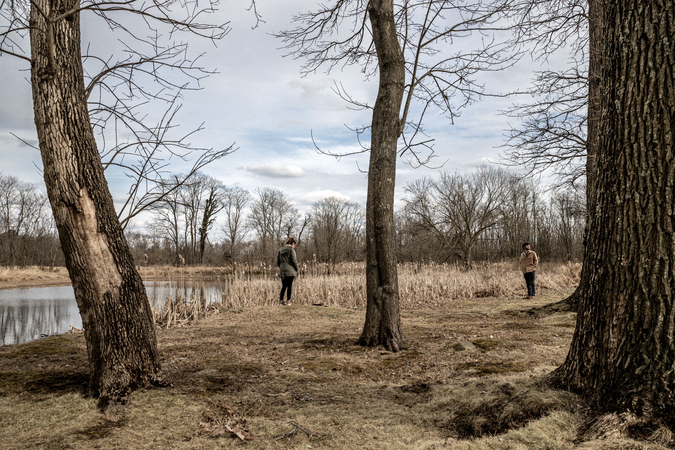
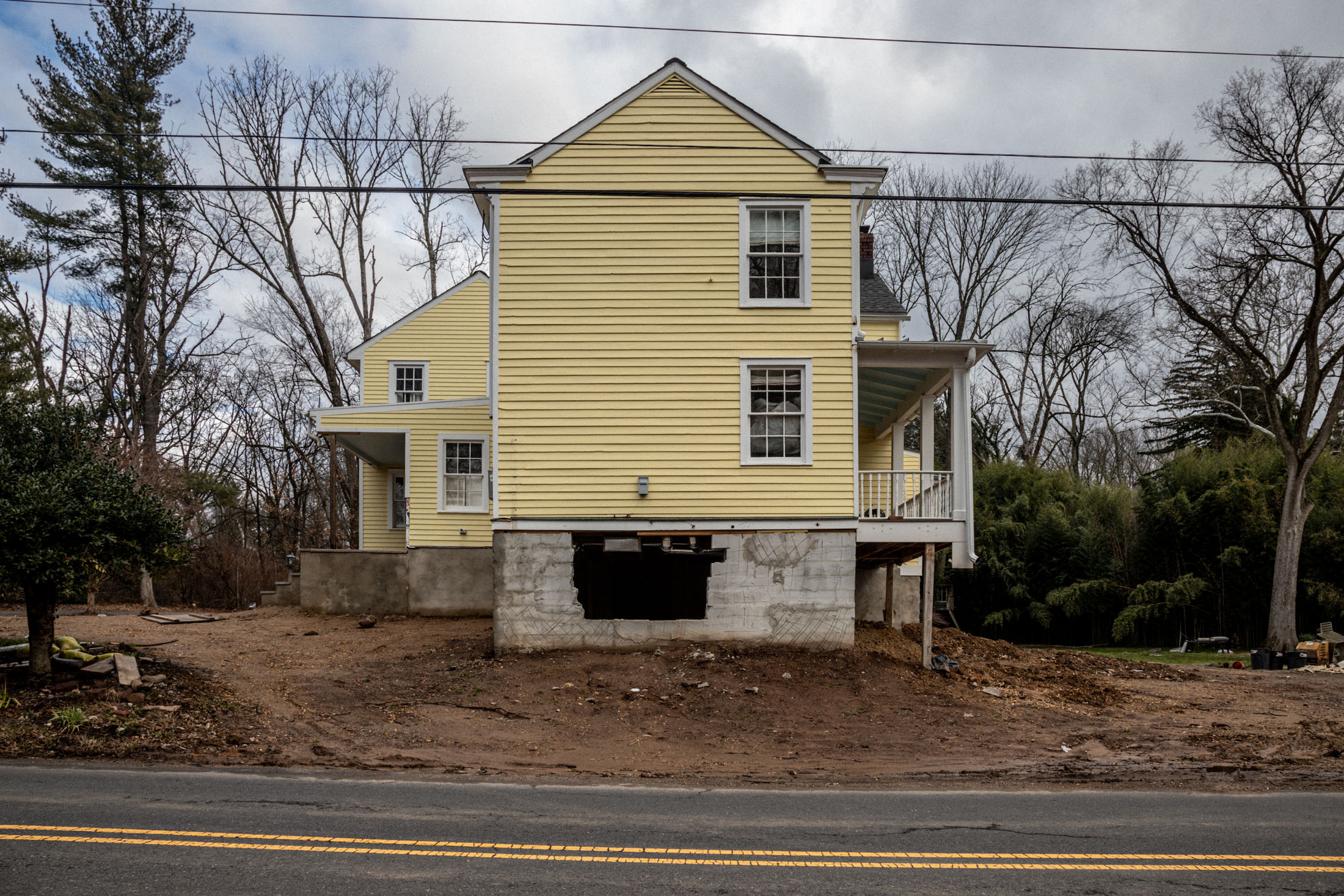
This project, “wet/land,” was born out of my experience of Ida and the days that immediately followed as acquaintances shared stories of flooded homes, shattered communities, lost loved ones. It dawned on me that my family was spared the reach of the tragedy only by dumb luck: we knew almost no one in this new place, and our rental happened to be perched on a hill next to a drainage pond that faithfully held the bulk of the deluge in its concavity.
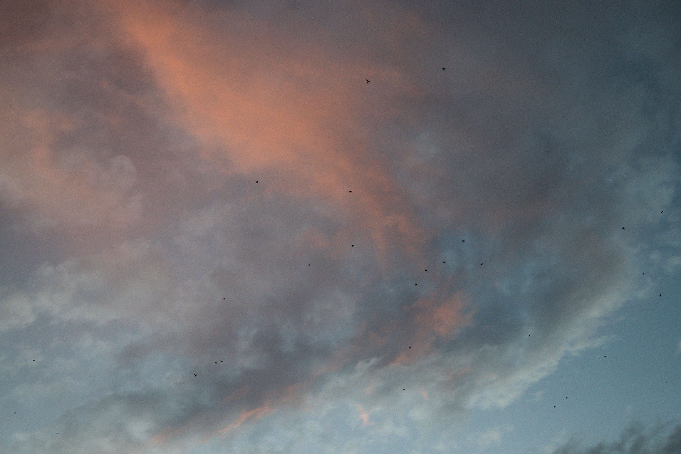
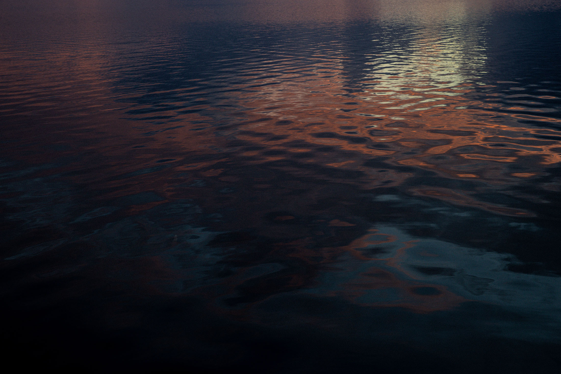
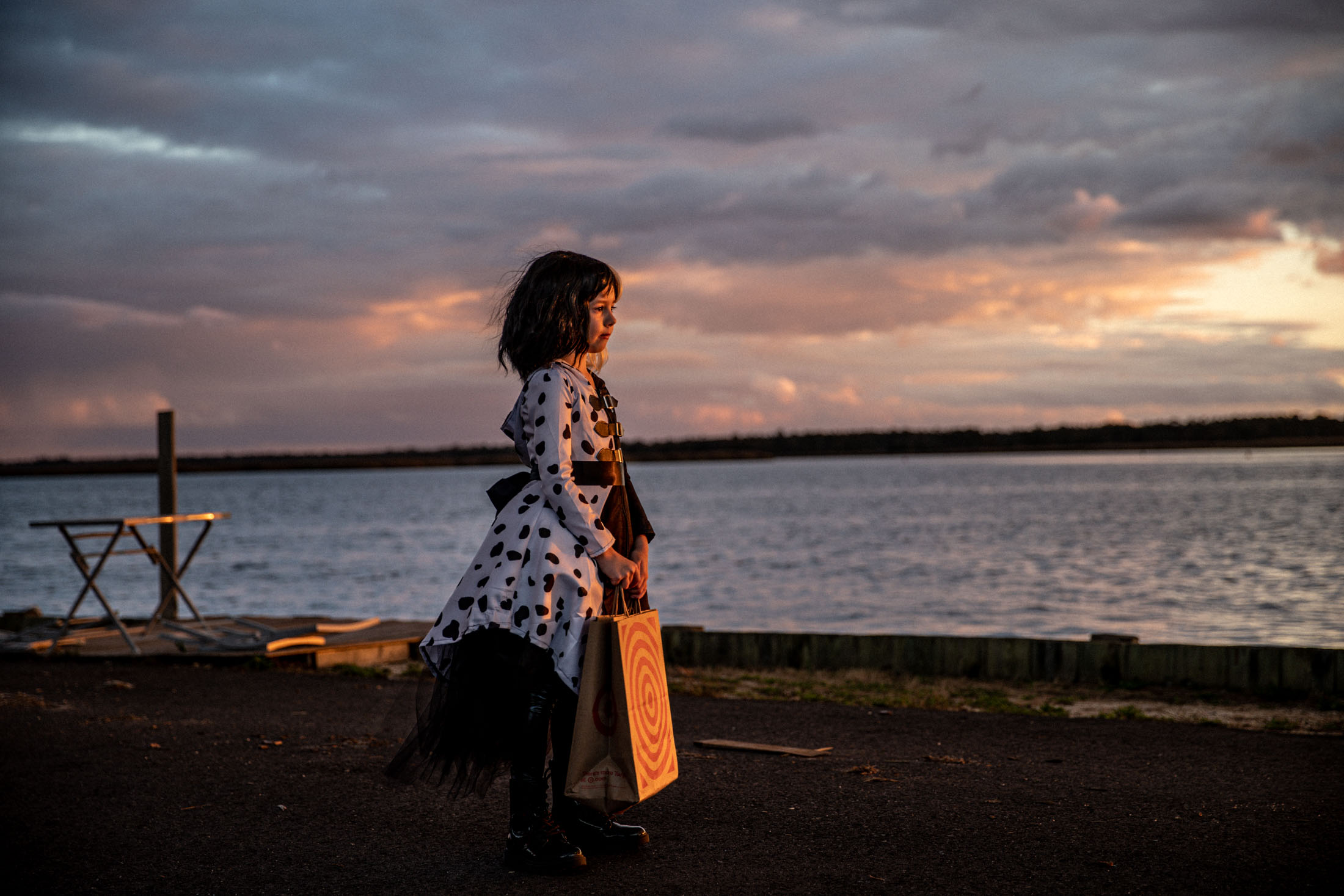
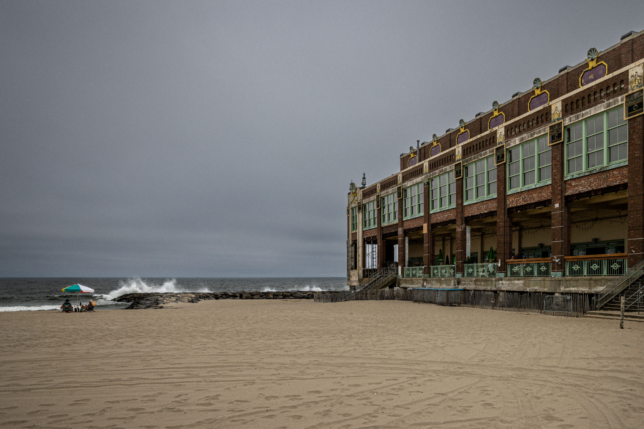
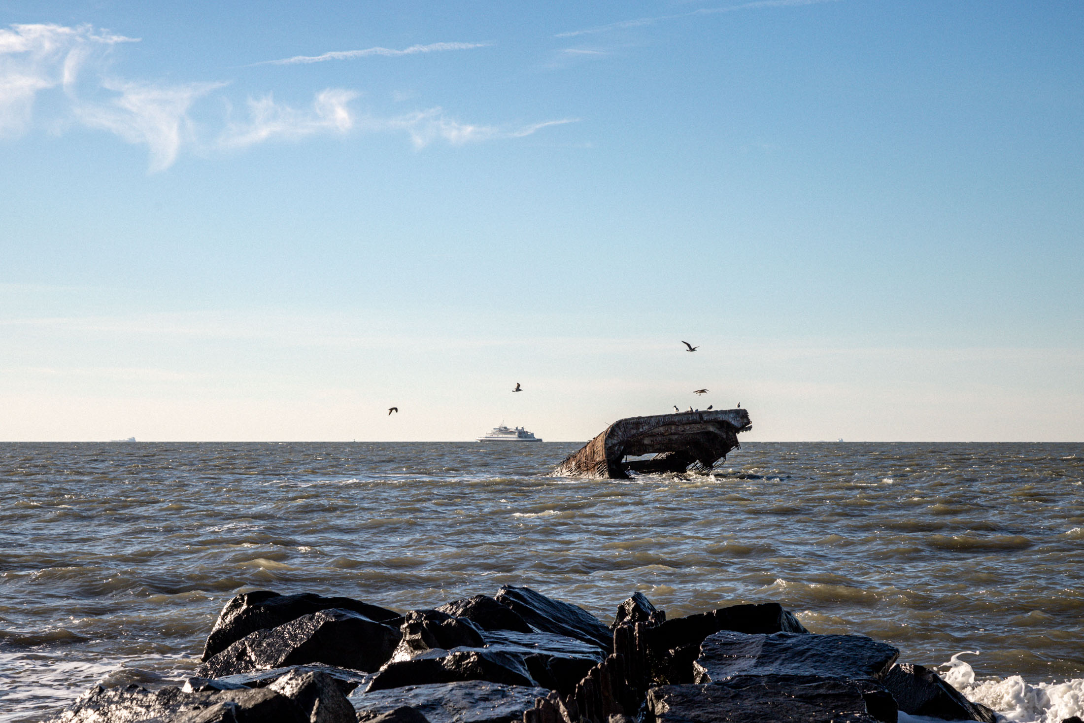
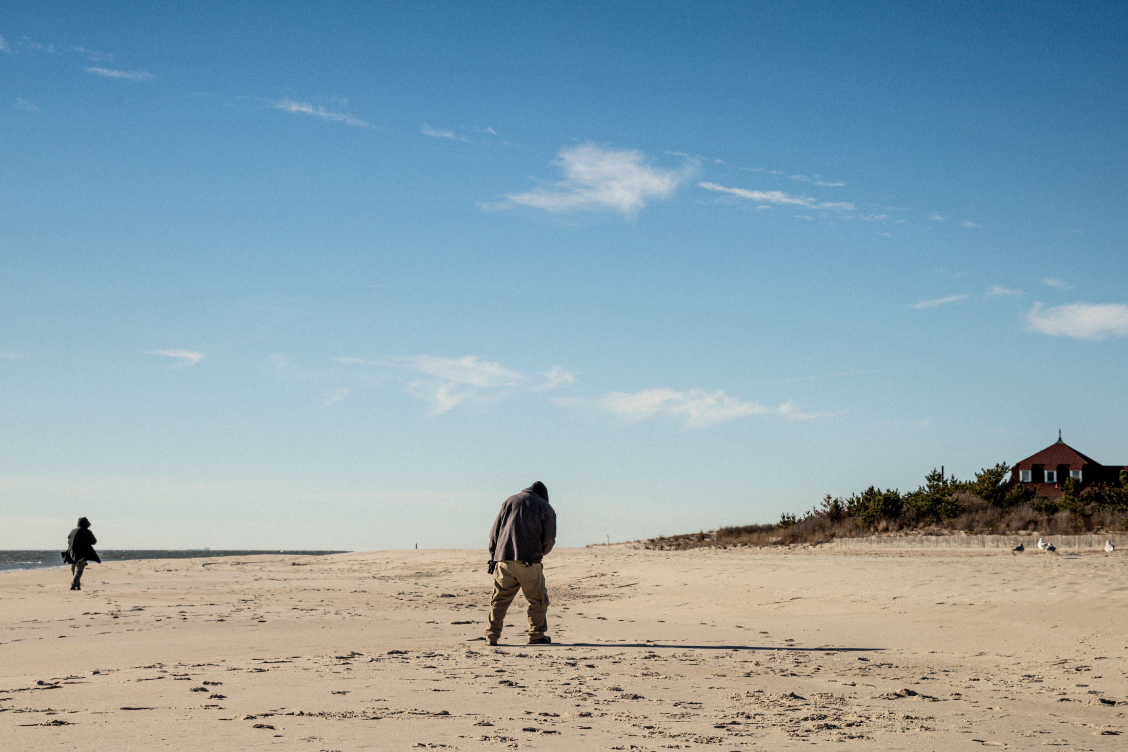
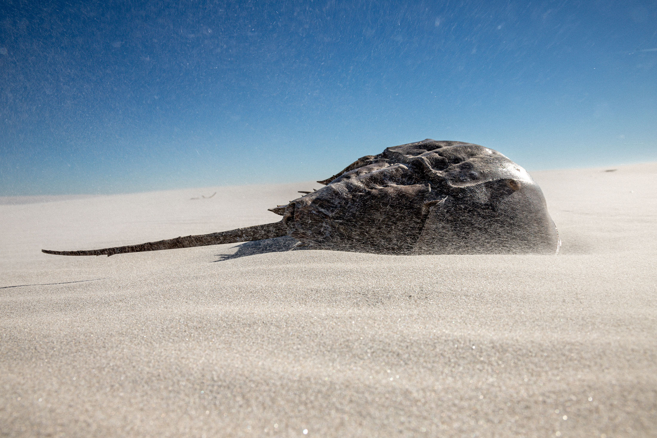
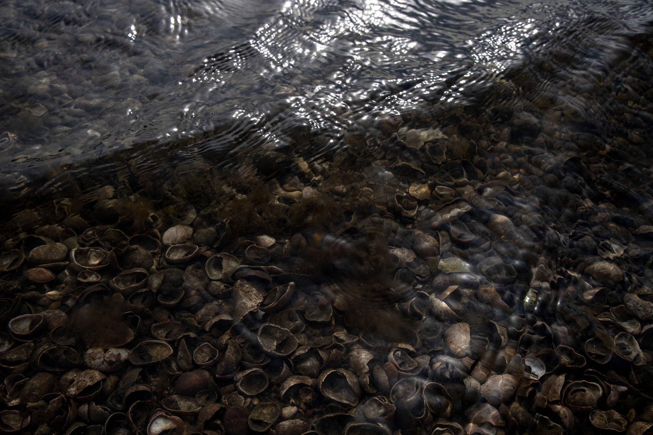
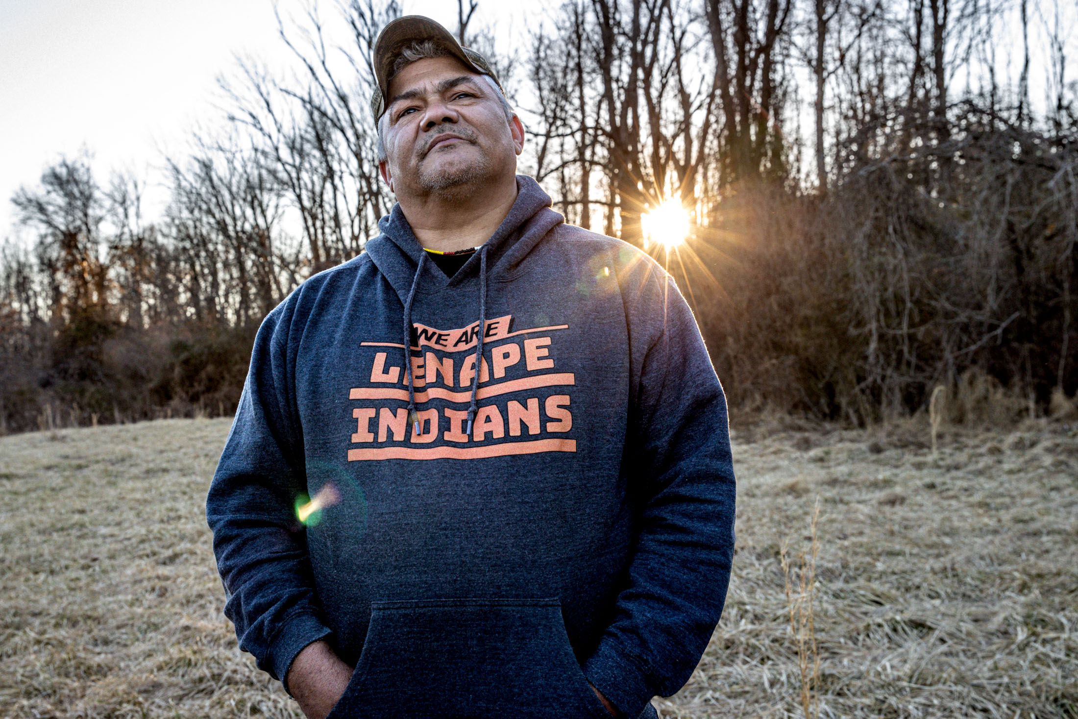
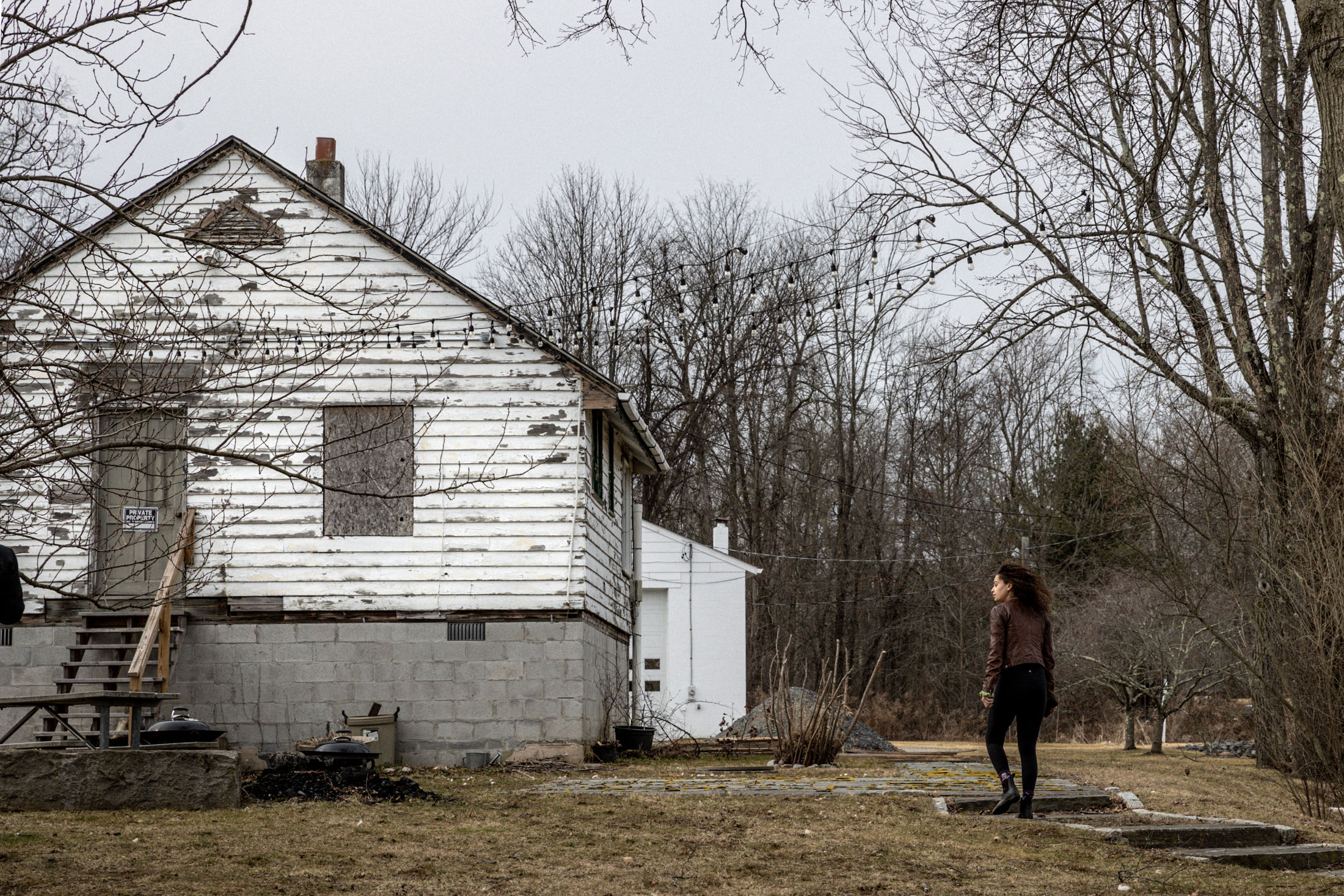
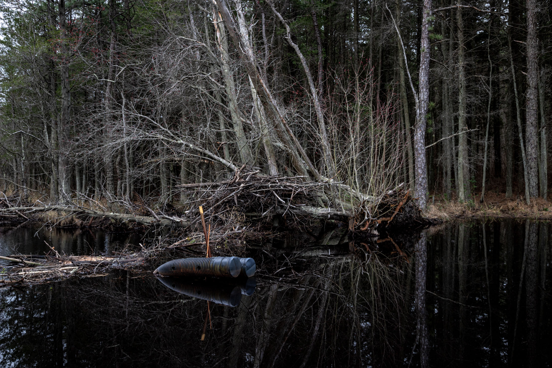
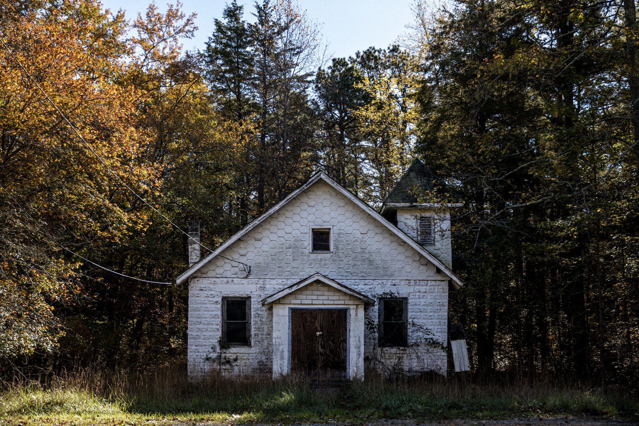
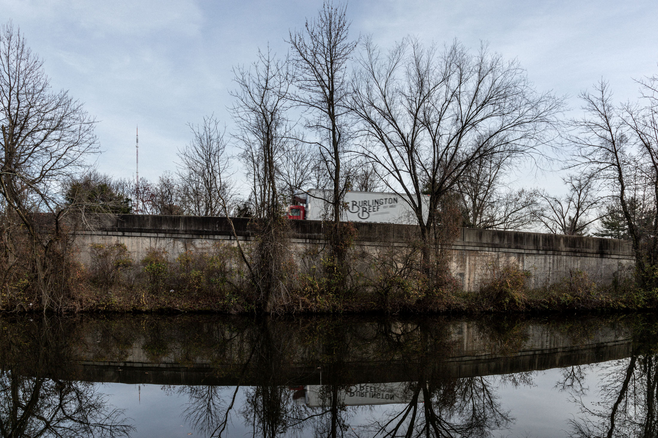
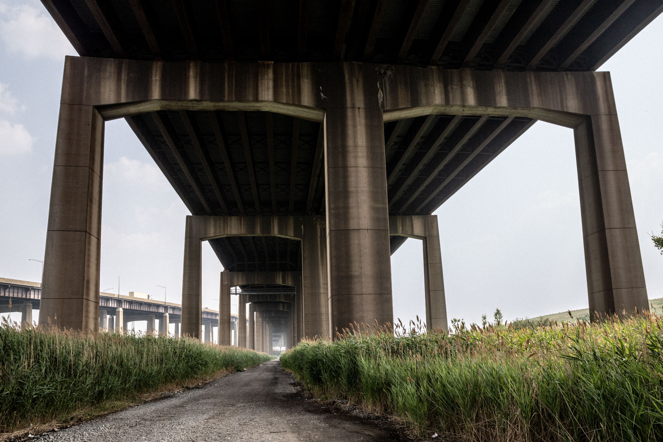
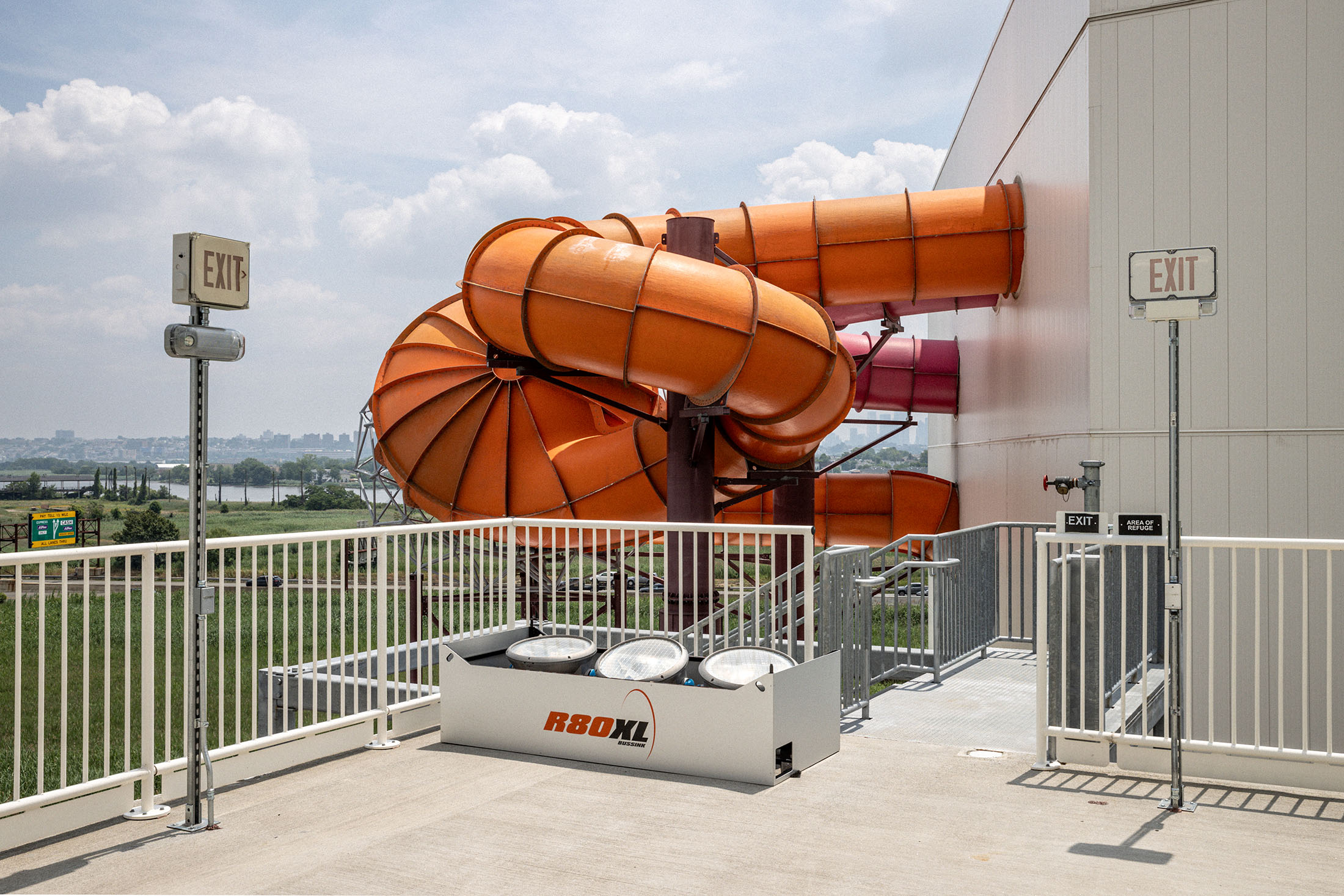
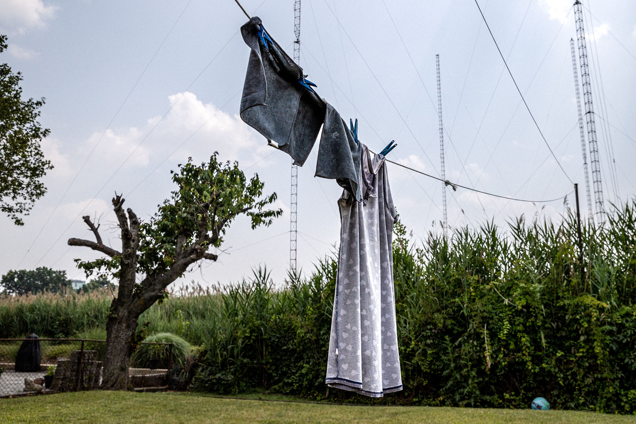
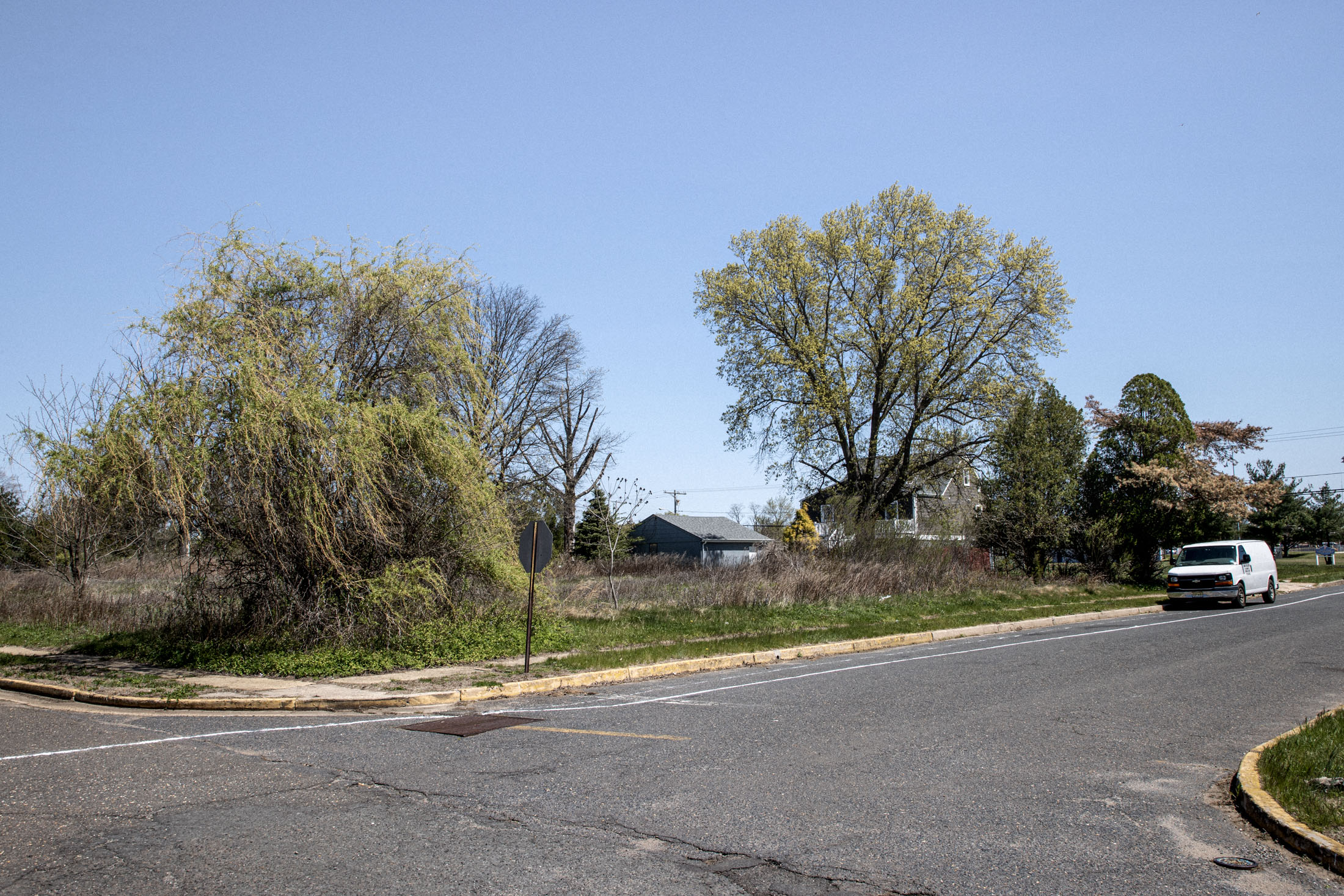
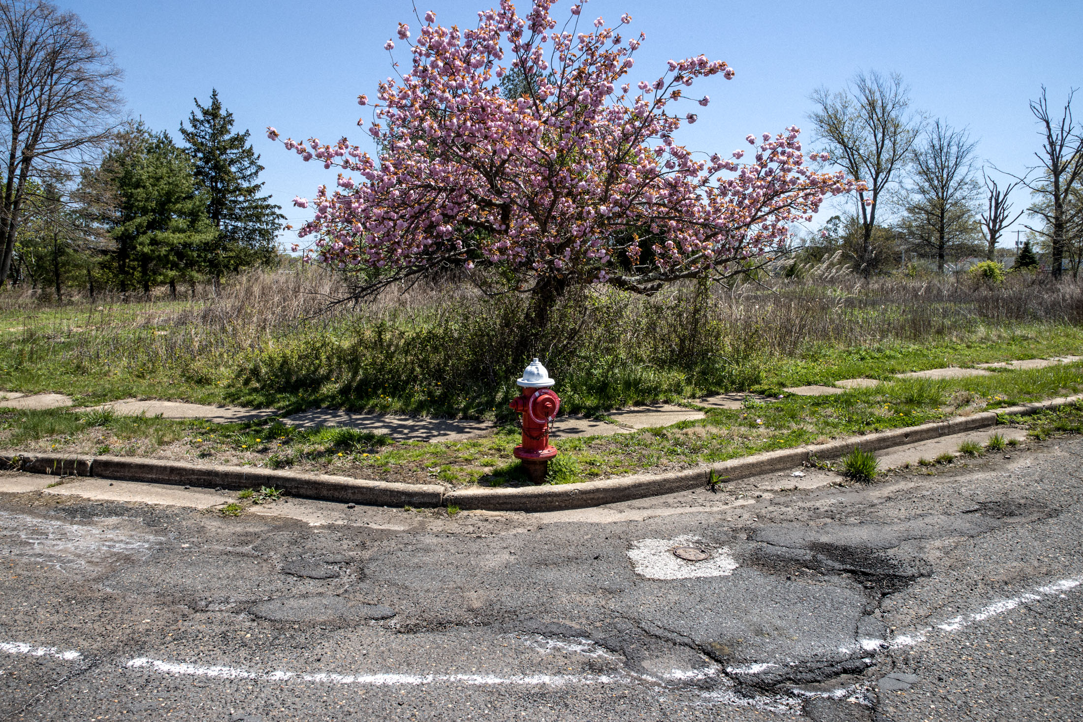
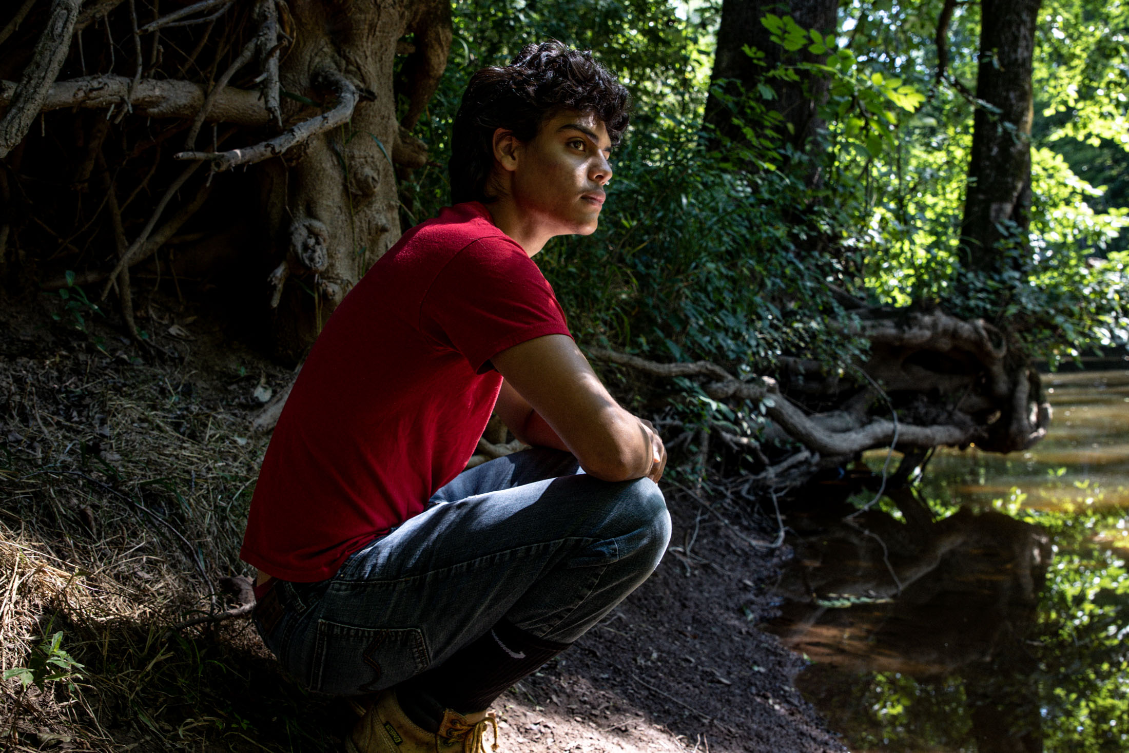
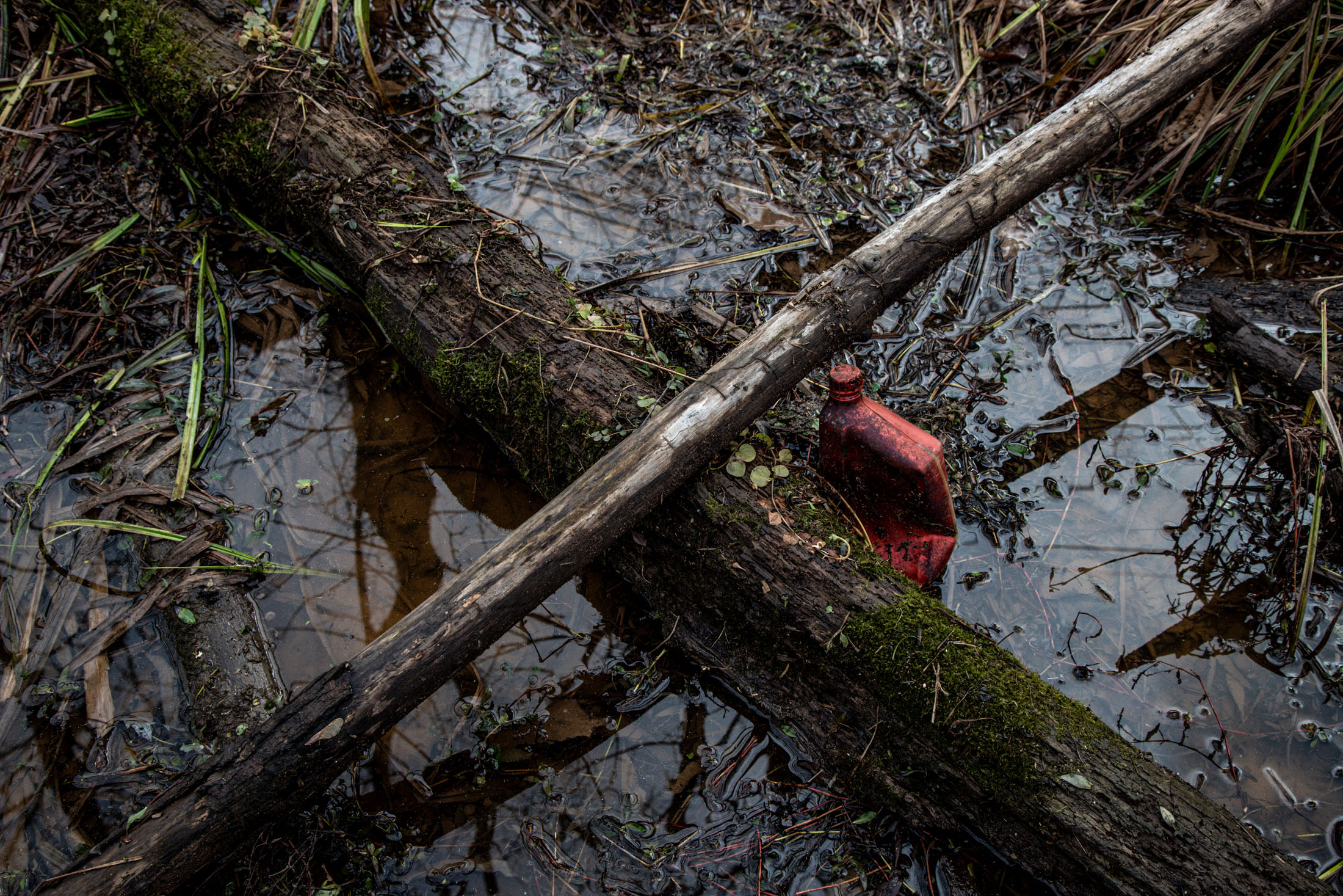
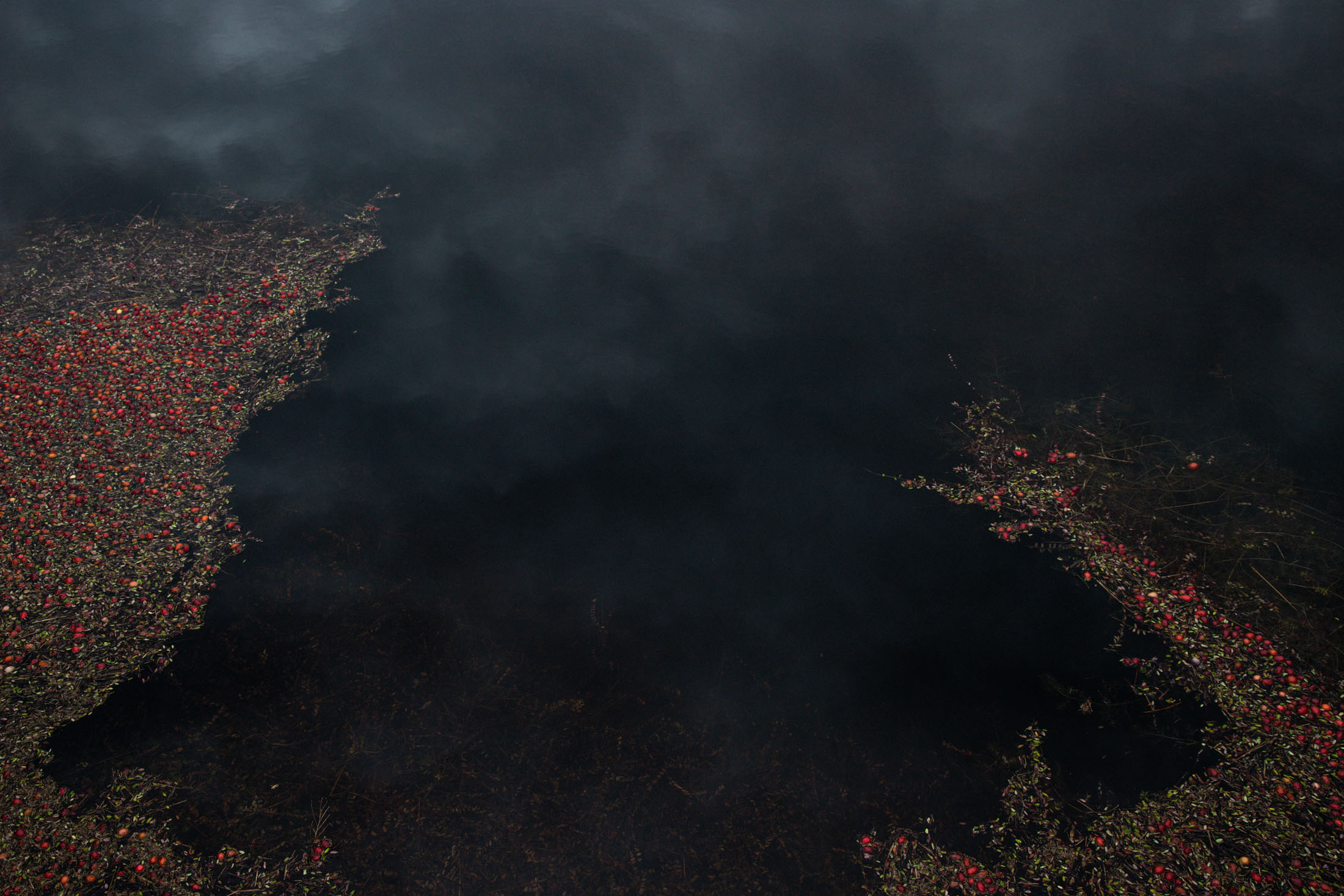
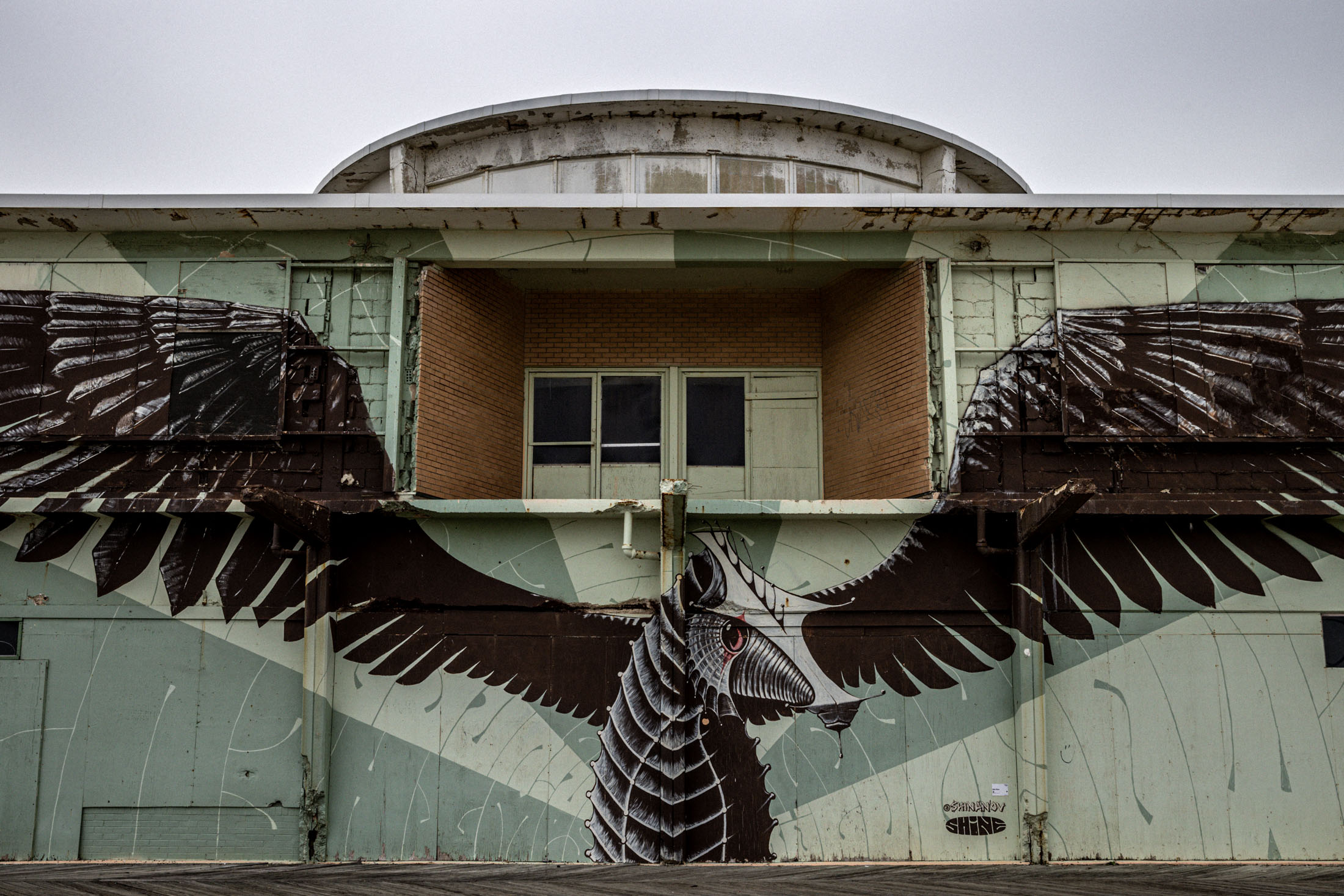
A work-in-progress, "wet/land" constitutes a multimedia experiment in documentary surrealism that explores the interstitial New Jersey topographies where land and water meet—places made all the more mysterious and precarious by climate change.
As it evolves, "wet/land" will weave together original still photographs of people, animals, landscapes and built environments, AI- and other digitally-rendered imagery, poetry, narrative, captions, scientific research, maps, videos, field recordings and recorded interviews.
In doing so, the project aims to illuminate something new and meaningful about these complex, shapeshifting landscapes—how they resist classification, defy our demands for utility, and summon our bodies and imaginations even as they threaten our undoing.


